
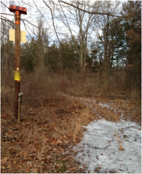
 Patriots' Path along the telephone pole easement
 Hello Hikers!
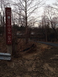
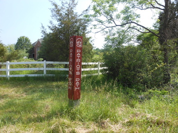
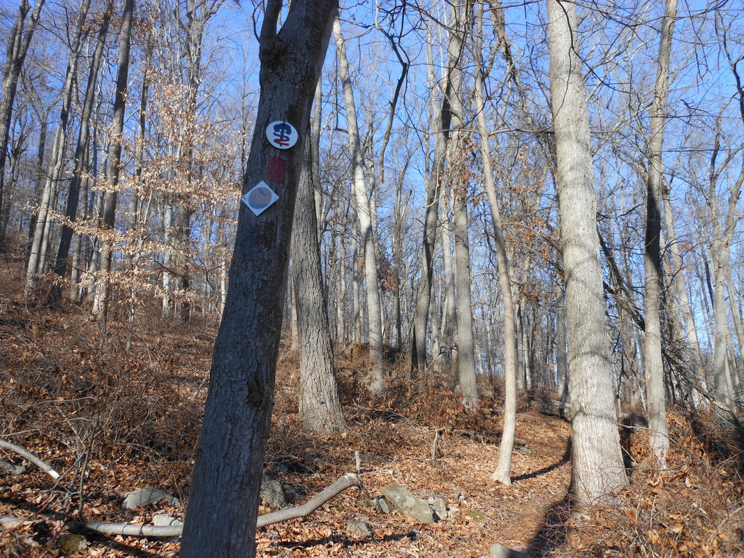
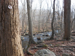
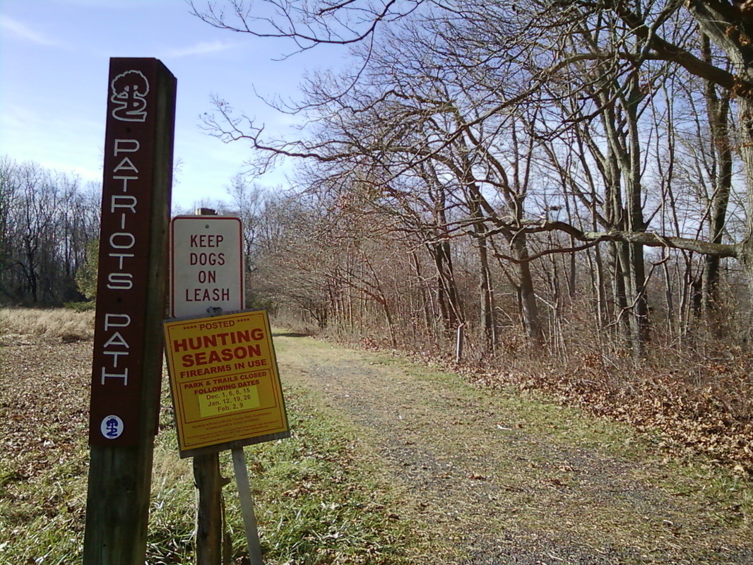
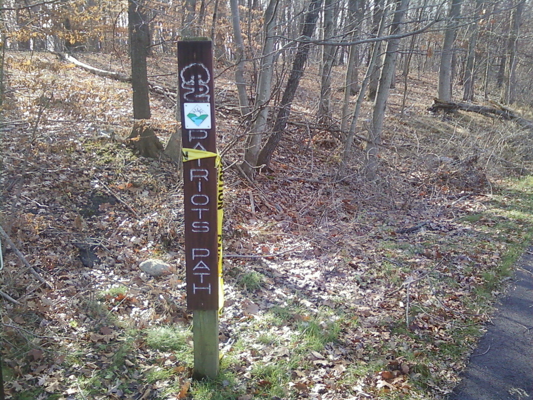
Yesterday I explored the section of Patriots' Path in southern Chester just off of Old Chester Road. Last time I hiked this trail, it was summer and I turned around at the crossing of Peapack Brook where there is no bridge. This time, however, I climbed across the brook on a fallen tree and was able to continue. From Old Chester Road, the trail parallels Gill St. Bernards Road through the woods. There is a drop off to the left once the trail enters the woods. It then turns left and follows next to the Peapack Brook for a quarter mile to the river crossing with no bridge. This section from Old Chester Road is blazed well enough and is in nice enough condition for a walk with nice views, but is only a quarter mile in length. The trail followed the telephone pole right of way from there through the woods until turning right across a small bridge and up a hill. At the top of the field was an open field and to the left so could see a telephone pole with a blaze. The trail led across many open fields with blazes every so often on a telephone pole or tree until terminating at a fence near East Fox Chase Road. The trail will hopefully soon be able to continue via an easement to the soon-to-be-developed Mount Paul Memorial Park. But for now, there is a red spur here that turns right. This is marked with blue blazes heading toward Roxiticus Road, but is blazed red heading in the opposite direction. Apparently whoever reblazed it red did only blazed it one way. After following the property line of a farm, crossing a few streams, and a bridge, I reached Roxiticus Road. The trail was not in good shape and was not blazed very well. It is not used much since it does not connect to any other section of Patriots' Path, so that could be why. Many of the blazes were white from when this trail was thought of as the possible through-route of Patriots' Path. The trail was narrow and very uneven, sometimes covered in branches. The sticker bushes over took the trail in some parts. Not recommended for a leisurely walk, but if you like exploring the woods, this trail may interest you.
After hiking this section, I drove west to Roger Road where I tried finding the connector trail from the end of the Black River spur at Daly Road to the Chester spit I had just hiked. Finding only a few blazes and no evidence of a trail, I decided just to hike from Daly Road to Willowwood.
The hike to Willowwood was nice, but is probably a little overgrown in other seasons. There is a stream crossing along the way with no bridge. Not hard to cross, but a bridge addition would be nice because of the extrem slope and loose rocks (I tripped into the stream). The trail follows the Rockaway Valley rail bed to Longview Road, where it crosses into Willowwood Arboretum through a deer exclusion fence. The trail from here is well maintained and it skirts the fields of wild life which is pretty even in the winter.
In other news, the Township of Chester has said that they will soon blaze Patriots' Path through to Black River Fields. The end blaze at Chubb Park (parking lot near Lamplighter) has been removed, suggesting that they are going to continue blazing the trail sooner than later. Also, the Fosterfields section is soon to be extended through Jones Woods. They have scouted a possible trail to Mendham Road and a place for the trail to cross into Morris Township's undeveloped park known locally as Jones Woods, but no word has been heard on when they will develop a hikable trail.
Be sure to check out all of the brand new and updated maps and trail descriptions. I rewrote a lot of the terribly written ones (I feel embarrassed how bad they were written). I tweaked all of my trails a little bit to make them more accurate. Some of the maps are even redone with my new GPS watch that I got for Christmas and are now 100% accurate, so that's cool.
I head back to school this weekend so don't expect any updates until the spring.
Happy Hiking!
-Brian
 RSS Feed
