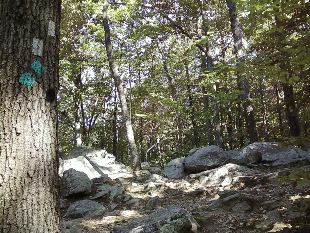
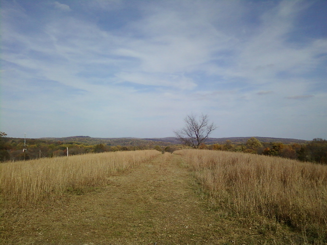
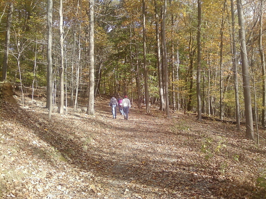
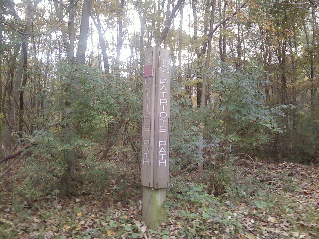
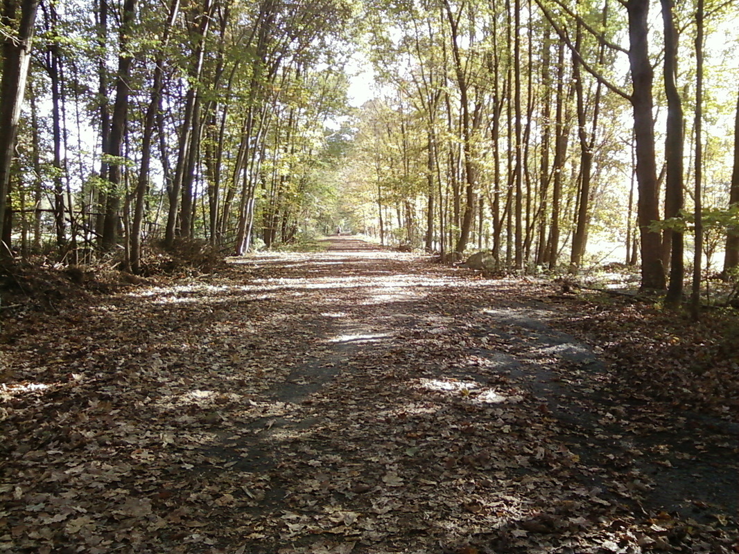
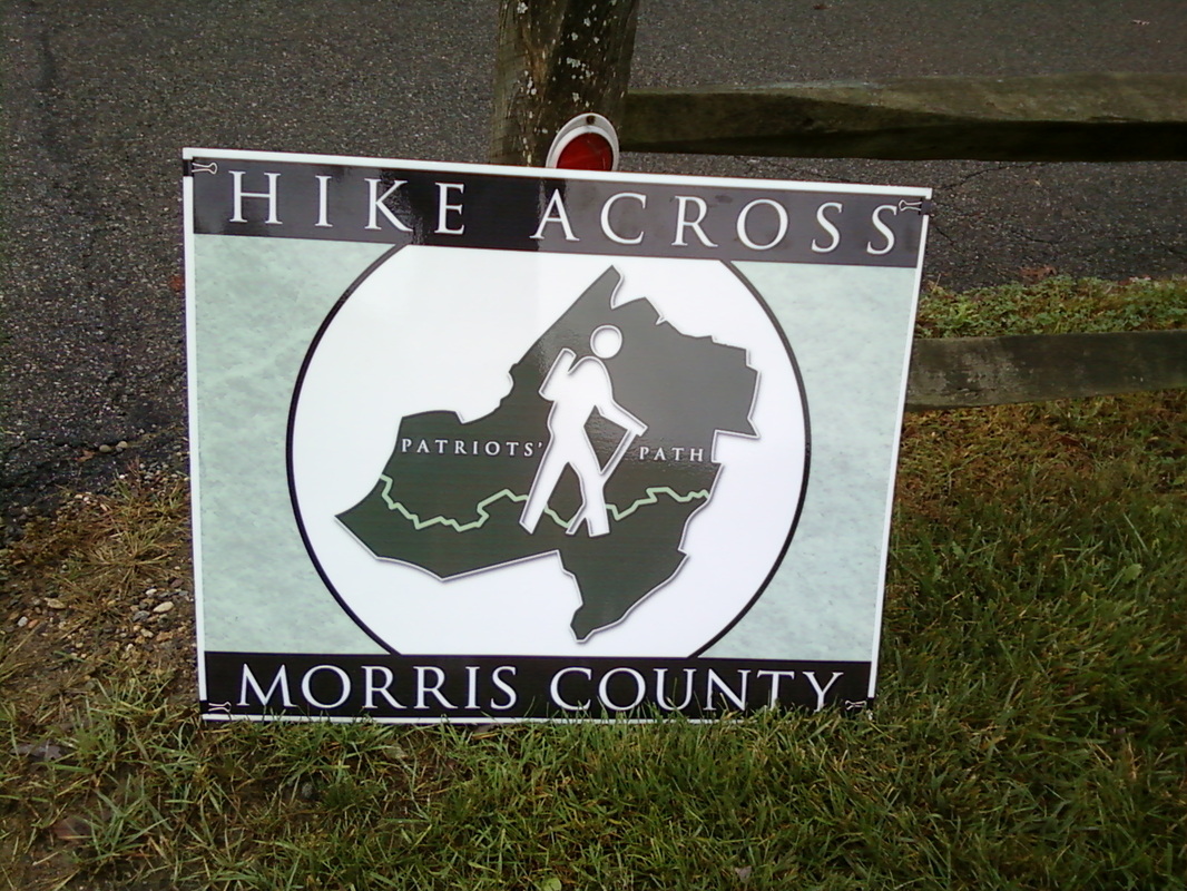
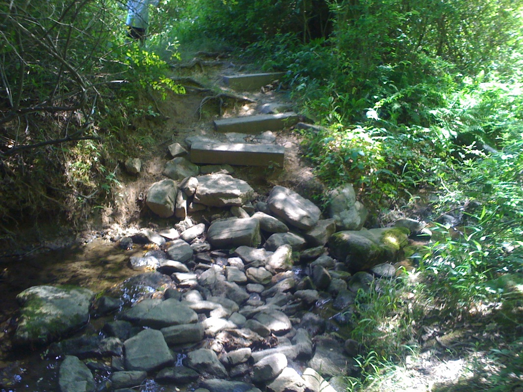
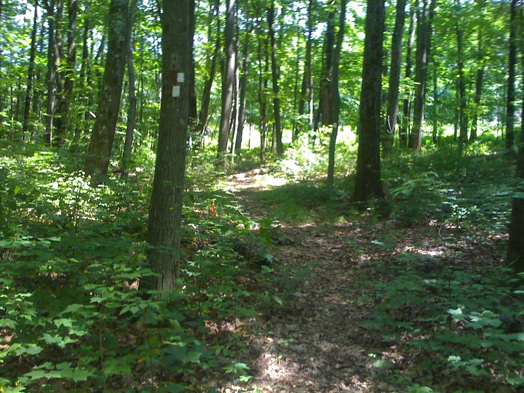
Today I went on a hike through Chester's Highlands Ridge Park. My family and I went from Black River Fields across North Road and into the not yet blazed trail though Highlands Ridge Park. Directions on how to get through the park are available on the Trail Descriptions. The trail was very nice and even had a 360 degree view of most of Morris County! Very nice hike. This trail will be blazed soon.
Patriots' Path along Randolph Trails Today I went on another Hike Across Morris County Hike, I missed the last two because of PSATs. We hike one of the most popular parts; from Heisteins Park to Sunrise Lake. The trail is beautiful, it has lots of views of brooks and is very well maintained. The whole hike is one of my favorites. I very much enjoyed the hike and the only updates are a new proposed spur and a tweak of one of my KMZ maps. Patriots' Path on Hugg Road On October 15th I went on a hike on one of the newest trails in Morris County; the new Patriots' Path from South Road to Ironia-Mendham Road. This trail was very well made and was nice to hike. Next we hiked along Ironia-Mendham Road and then crossed North Road. We then continued across onto Hugg Road and then went into the Black River WMA. Patriots' Path on the Columbia Trail Today I went on a hike from The Columbia Trail to Tanner's Brook Road. Patriots' Path comes out of Schooleys Mountain Park and goes across Fairview Avenue and to the Columbia Trail. It then turns left onto the Columbia Trail and heads to Naughtright Road, then to Elizabeth Lane. Shortly after crossing Elizabeth Lane, PP blazes tell you to turn right off the trail through woods to Bartley Road. Then we crossed Bartley Road and followed the blazes to Palmer Park. The blazes head into the Park all the way into the back where it turns off onto a golf course road. There are no PP blazes from here to the deer hunting trail. By turning onto a dirt golf path, then right onto a gravel one, we found ourselves back at a PP blaze heading onto a grass path. The next PP blaze is in the woods to the right of the path where a white blazed hunting trail begins. You follow the hunting trail up a hill. the trail splits many times, just have to follow the PP medallions. It then goes down a hill to another split, then PP leaves the hunting trail, though still on a non-blazed hunting access trail. It then meanders through swamp and woods to Tanner's Brook Road. The Columbia Trail is a beautiful all-purpose trail, and the hunting trail is not bad for hiking. Hike is 3 out of 5 stars. Hike Across Morris County Sign Today I participated in the first Hike Across Morris County Hike along Patriots' Path. The section we hiked was in Hackettstown from Stephen's State Park to Schooley's Mountain Park. The trail was flooded at parts from the rivers, but it was a good hike. We hiked 8.5 miles! The trail has been unofficially completed. One section in Peachtree off of Route 46 is to be rerouted and is a temporary trail. The trail follows Mine Hill Road from Stephen's and crosses 46 where it then follows it to a shopping mall. It then goes through a town house village called Peachtree and continues into the woods at the edge of Peachtree where it connects to Resevoir Road. The we continued our hike down the pre-existing trail to Schooley's Mountain Park. The section from Flocktown Road to Falcon fields we did not hike because so many residents dumped brush and junk onto the trail. The new opened trail to Resevoir Road was very nice for hiking. The trail from the Flocktown School to Resevoir Road was nice too, but it had lots of misquitoes and wasp nests in the ground along the trail, so be careful. No one got stung, but I still caution you. Very nice hike overall. The Speedwell Lake trail has now been paved for easier biking. They have also added some benches too. The sections from Speedwell Lake to Washington Valley will soon all be paved. Buttermilk Falls in Mendham This hike was my second hike with the morristown recreation hiking program. We took a hike in Buttermilk Falls in Mendham. The hike was very nice. The trails are great and are very enjoyable for any hiker. Patriots' Path and Highlands Trail climbing up Schooleys Mountain Today I went on a hike in Schooley's Mountain Park. We parked on Fairview Avenue at the Gillette Trail Parking Lot aka the Palmer Fishing Area and hiked Patriots' Path through Schooley's Mountain to Rock Road. The trail is rocky, but nice for hiking. There is an amazing overlook close to the top of the mountain. The hike was beautiful. We also took a short hike down the Falling Waters Trail. That was very beautiful. The falls are fantastic. Lake George was closed to swimmers, but that lake was also spectacular. The hike was fantastic, and I recommend it to any intermediate hiker looking for a great hike. The hike was a total of 5 miles. Check out the pictures of Patriots' Path and the Falling Waters Trail. Patriots' Path in Dismal Harmony This afternoon I took a hike with a local hiking club run by the former police chief of Morristown, Tim Quinn. He led the group through the park starting at the trail head on E. Main Street and taking us to Lengend Rock, then to the other trailhead on Woodlawn Terrace, and back to where we started. We didn't stay on the Patriots' Path the whole way, we cut off onto some unblazed side trails that took us around the border of the reserve. The hike was absolutely beautiful. There are no bikes allowed, but its a great trail to hike. Today I went on a ride through Chester on Patriots' Path. The trail goes from Old Route 24 to Tanner's Brook Road. The trail begins again on Tanner's Brook Road and ges to Palmer fields. They will be connected soon. I stopped at Tanner's Brook Road. The trail was very badly overgrown. It's better suited for hiking exept there is a half of a mile bike trail that runs near Chubb Park. The biking trail starts at Old Route 24 and then turns into Chubb Park onto a paved path that also goes to Furnce Road in the other direction. It its not blazed. The white trail goes straight and meets up with the blue Chubb Park trail and then goes onto an overgrown trail going to the Cooper Mill Trail. The white trail continues right and crosses the paved bike trail again, then crosses two brooks (no bridges), and then crosses back over the brook (again no bridge). Then gets to Furnce Road. The trail is not good for biking, but is pretty good for hiking. The trail then crosses Furnace Road and goes through an even more overgrown swamp. The trail is again better for hiking, but this trail was much more overgrown than the other. The trail gets to Tanner's Brook Road where its end is until probably a few weeks. We took the roads and the bike trail back, since the trails were so bad. |
AuthorI am a Senior at Lehigh University, and I have a passion for biking and hiking. Archives
January 2015
Categories |